GURA® SLAM ORB
Learn more here: https://www.guracorp.net
Hi everyone! It has been a while since I’ve had the chance to sit down on a Sunday evening and simply design something for my pleasure.
I was doing some research and came upon the DARPA Subterranean Challenge. It heavily encourages innovation and solutions for underground mapping of terrains such as DUMBS, Tunnels and Natural Cave Systems.
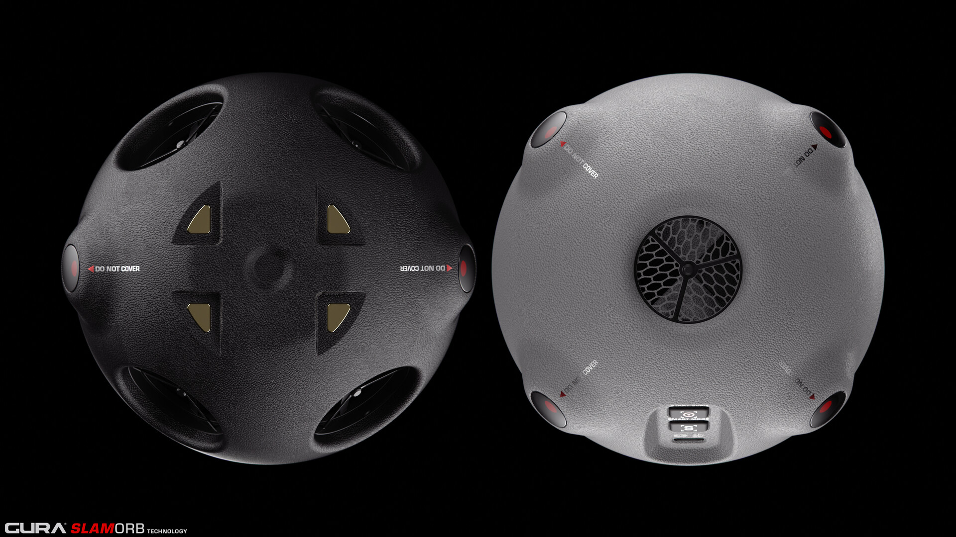
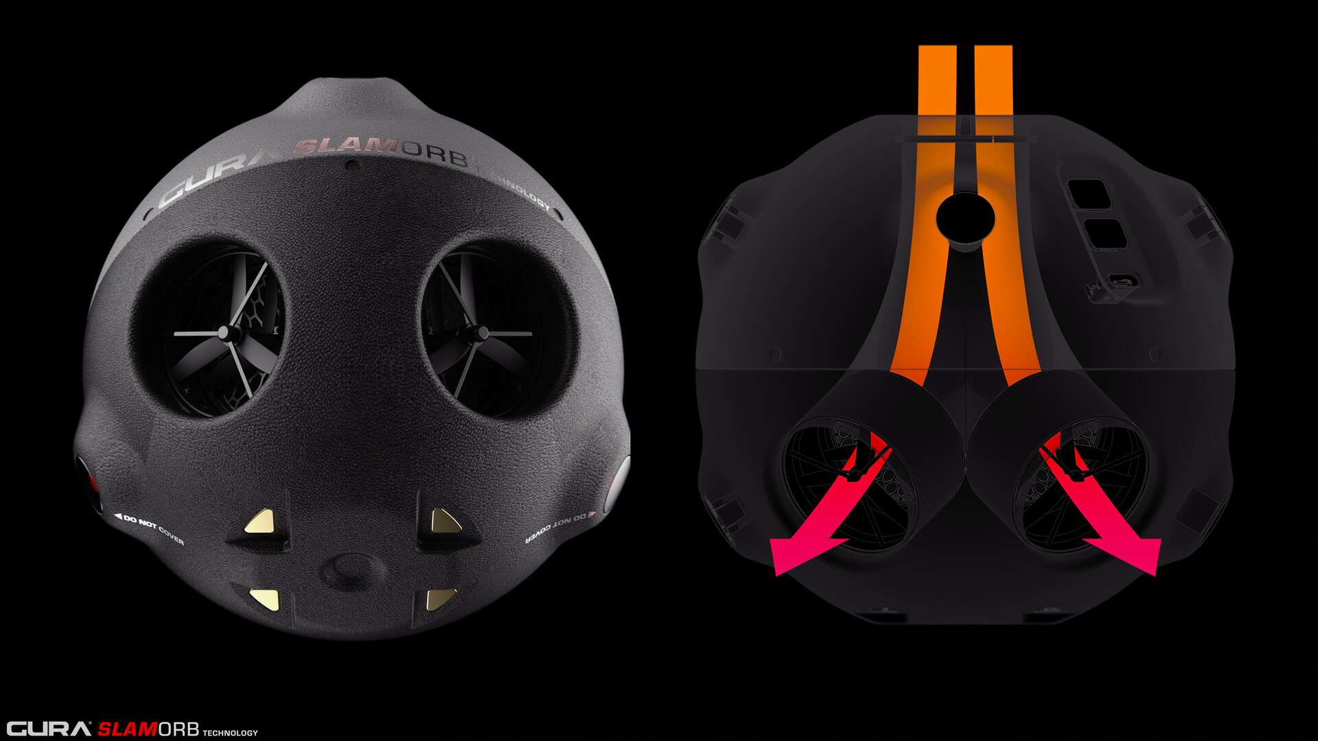
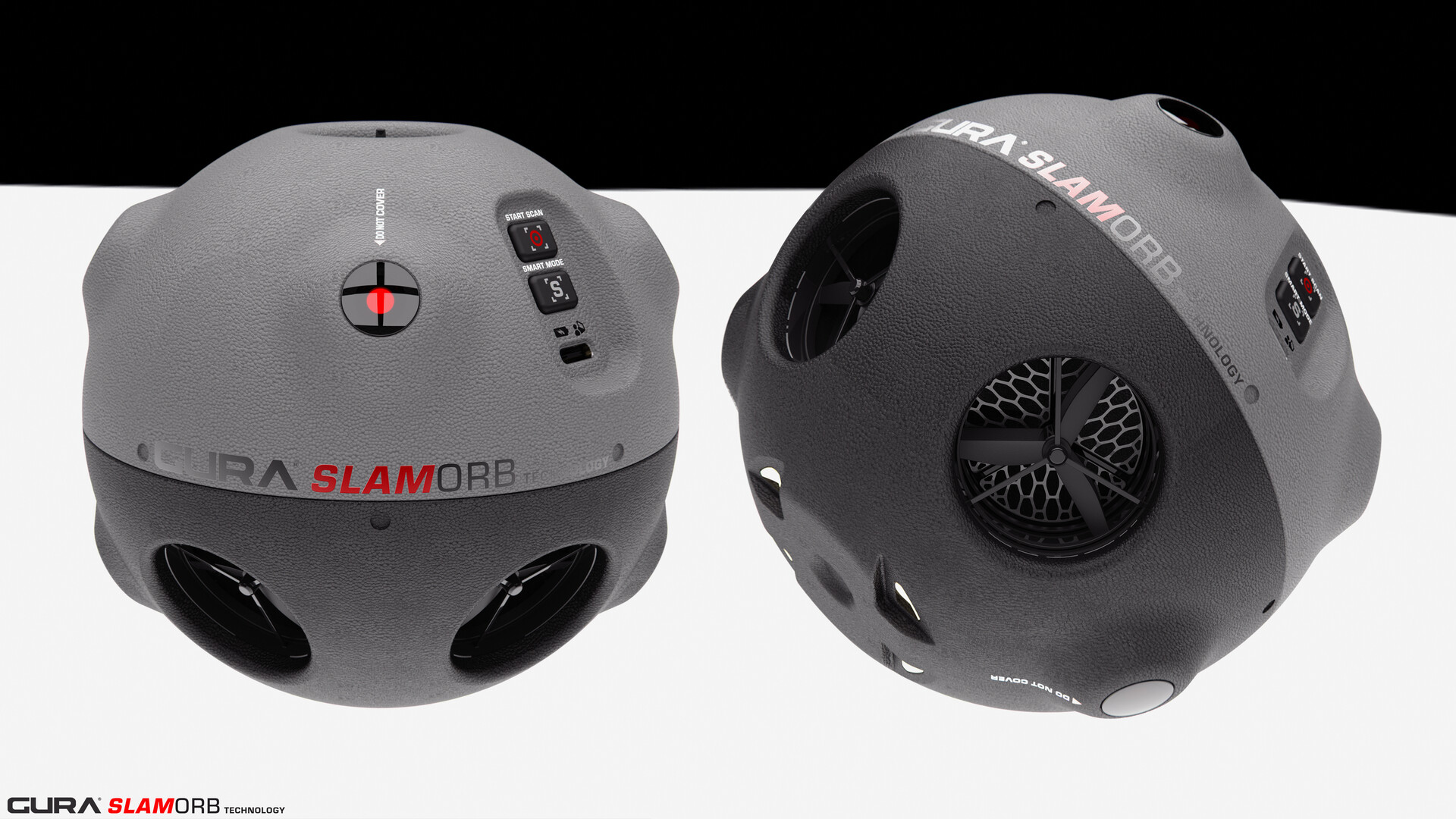
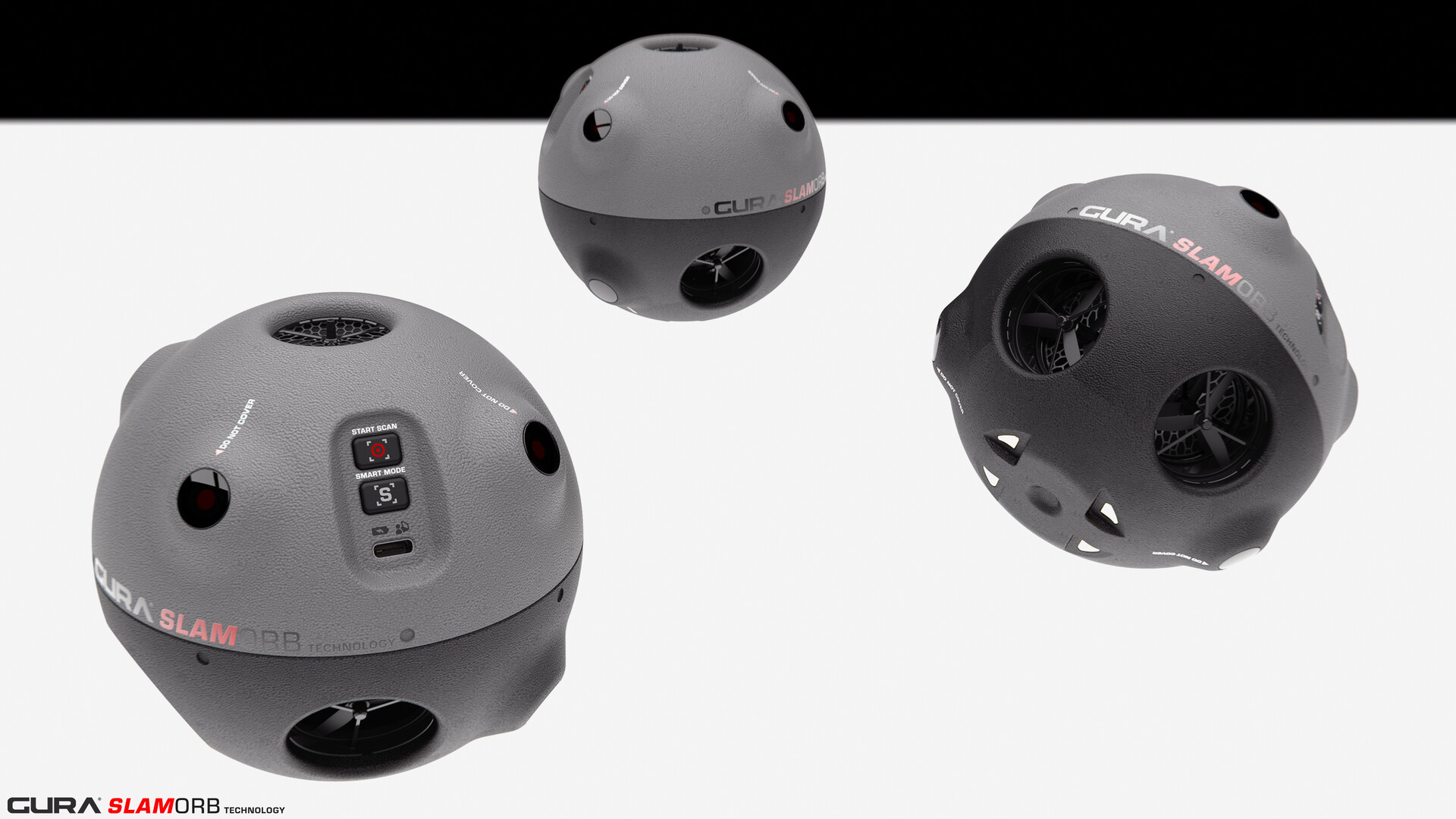
This GURA® SLAM-ORB system features “Simultaneous Localization and Mapping” technology which has already matured pretty well. My idea was to put it into an orb form factor enclosure and implement a drone propellor system with 4 strategically placed thrust ports.
The rotors suck air from the top intake, creating a low pressure zone above the orb and lifting it up efficiently. Dual rotors in each hub provide precise thrust vectoring for dexterity and maneuvering through unexplored territory.
The integrated optical lasers scan the environment at a 240Hz frequency for high fidelity geometric mapping. This data is crucial for expeditionary missions, reconnaissance, rescue and military applications.
The operator simply initiates the orb and releases it into the unexplored area. The GURA® SLAM-ORB will autonomously fly and map the whole area and RTB. Data can be extracted by wired & wireless connection.